
Wiggins Road Trail
About This Trail
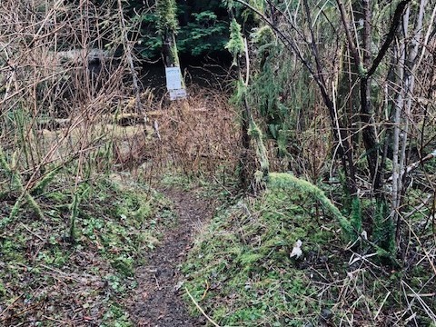
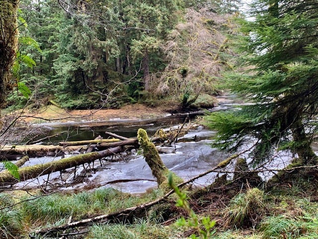
The Wiggins Road trail is an unmaintained 2.6km out-and-back route that follows the Tlell River south along the river's bank. The trail is unmarked and unmaintained, but it's still relatively easy to follow until you begin entering the Tlell Conservancy area. At this point, the rough trail gets harder to make out.
Its primary purpose is to provide access to the Tlell for steelhead fishing, providing many side access paths to the river.
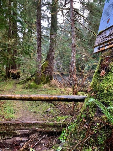
Much of the trail is flat, though there are some significant areas of mud, roots and deadfall. If you hike the 1.3km from the trailhead, you will eventually connect to the Anvil Trail, a 5km loop trail.
The trail does fall on privately held land for much of its length, so those visiting should be respectful of posted signage.
Photos: Photo By Hike Haida Gwaii
About This Trail
The Wiggins Road trail is an unmaintained 2.6km out-and-back route that follows the Tlell River south along the river's bank. The trail is unmarked and unmaintained, but it's still relatively easy to follow until you begin entering the Tlell Conservancy area. At this point, the rough trail gets harder to make out.
Its primary purpose is to provide access to the Tlell for steelhead fishing, providing many side access paths to the river.
Much of the trail is flat, though there are some significant areas of mud, roots and deadfall. If you hike the 1.3km from the trailhead, you will eventually connect to the Anvil Trail, a 5km loop trail.
The trail does fall on privately held land for much of its length, so those visiting should be respectful of posted signage.
Photos: Photo By Hike Haida Gwaii
More Trails on Haida Gwaii
Hike Haida Gwaii has GPS coordinates, conditions, and local knowledge for every trail on the islands — including hard-to-find ones.