Charlie Hartie Creek — one of 5 Backyard Trails near Daajing Giids
For a moderate to easy hike near Daajing Giids, try Charlie Hartie Creek Trail, also called Charlie Valley, and Charlie Hardie South Lake Trail. This moderately trafficked out & back trail takes you up the ridge behind Daajing Giids.
Rating: Easy to Moderate
Distance: 2 k – 3.4 k
Elevation gain: 140 m
Waypoint: 53.2567867, -132.0919175
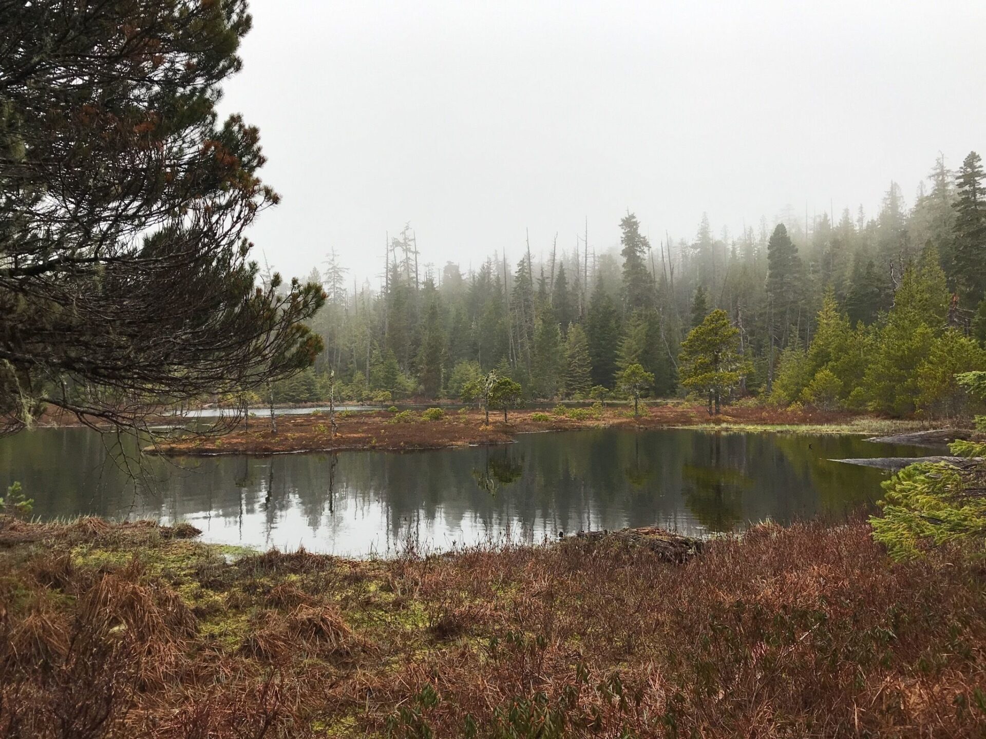
This trail features a creek, called Templeton by early settlers, and is rated as moderate due to the climb. Primarily used for hiking, walking, and running, though mountain bikes have been spotted.
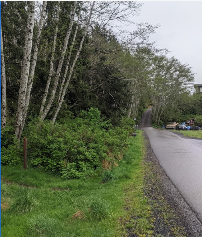
Well marked trailhead located at the top of 6th Street, just off 1st Avenue. Trailhead is located well inside the municipal limits of Daajing Giids. Note the red text used on the trailhead marker — the village uses this colour to denote moderate to hard trails while yellow signifies easy routes.
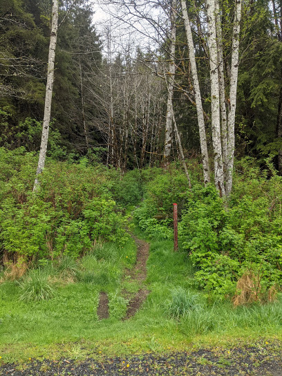
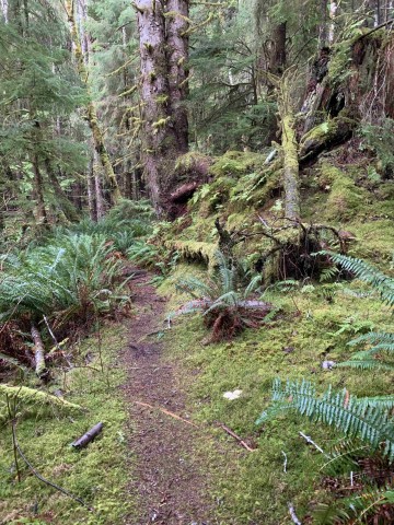
From the trailhead, the Charlie Hartie Trail starts off as a narrow path and gently slopes upward. About 15 minutes in, the trail widens and gets a little easier to navigate. At this point, the obvious path disappears as you continue your ascent; however, the trail is clearly marked with flagging tape and, like Gore Brook Trail, clam shells placed in groups of three.
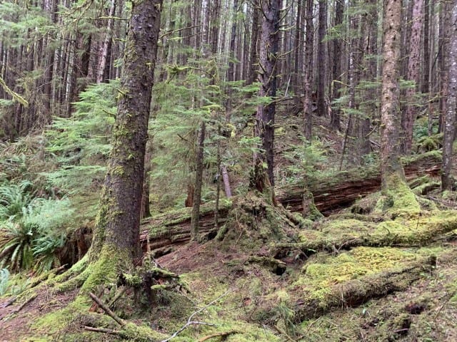
At about 30 minutes in, following a challenging climb, you will come across a fork in the trail and some signage. This marks the end of the navigable portion of the Charlie Hartie Trail.
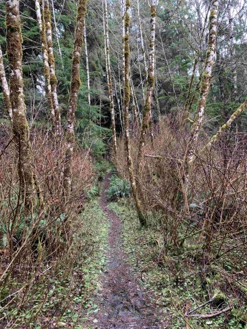
The LEFT pointing arrow — "Charlie Hardie" — will bring you to the creek. But this route hasn't been used in a very long time. Blowdown, overgrowth, and lack of markers make navigating toward the creek unrealistic. The Village of Daajing Giids knowledge-holders strongly advise against hiking toward the creek.
Look for Scout Lake at terminus. Return downhill for an easy hike back to Daajing Giids.
Note: The informal "Backyard Trails" system intersects with Charlie Hartie Creek Trail. Varying reports of trail length depend on route taken.