Walk around
Regier Lake Trail
One of 5 Daajing Giids' Backyard Trails
This hike near Daajing Giids is a moderately difficult one–in fact the most challenging of the five “backyard” hikes behind Daajing Giids. Allow plenty of daylight for this mostly consistently uphill hike.
But once you climb the ridge behind Daajing Giids, you will find a botanist’s delight in late spring. Look for calypso orchids (fairy slipper), single delight, miners’ lettuce, cleavers, skunk cabbage, ground dogwood in the forest; variety of bog plants, including bog laurel, Labrador tea, cloudberry, bog rosemary and heather.
Residents have had some difficulty describing the 2 trailheads to visitors as local knowledge is often based on bits of alleys and roads whose names are sometimes unclear, or even unknown. So we are very grateful for this update from a visitor’s point of view–thanks to PookyCake for this excellent update which we quote at length:
“If you’re up for a challenge, and want to hike Regier Lake, follow these steps:
1) If already staying in Daajing Giids, travel to the east end of the village. Just after you pass Wharf Street (home of J&T Restaurant), you will spy 3rd Avenue on your LEFT. This steep road is also called “Forestry Hill” by the locals. Drive up this road.
2) As you reach the top of the hill, you will see a dirt road to your LEFT. The Regier Lake Trail is at the top of this road; however, there isn’t really any parking for non-residents; thus, I would recommend parking your vehicle on the side of 3rd Avenue and walking up the road.
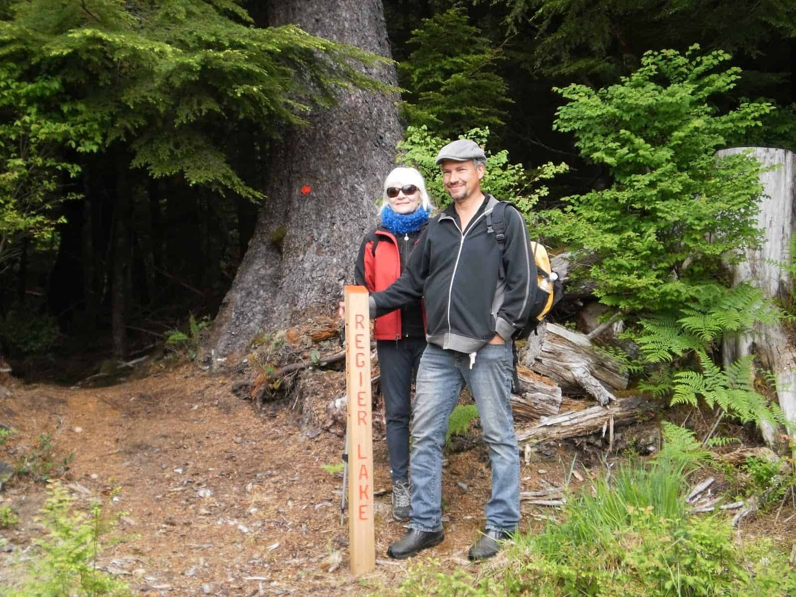
3) Once you reach the top, you should see the trail to your RIGHT immediately beside a small storage shed. The trailhead marker used to be here, built in the same style as Charlie Hartie, Gore Brooke, Crabapple, and Tarundl. Its absence makes the trail a little more difficult to find; however, you should still see some pink spray-paint on a tree, indicating the trail. From here, it’s a 3km trek (one way), and 1,200 feet in elevation gain, to Regier Lake!
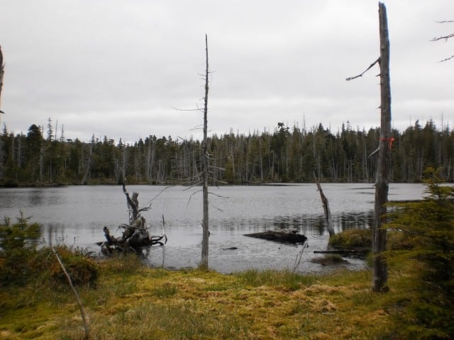
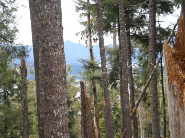
The trail itself is basically an uphill climb right out of the gate. While rough, the trail is well marked with a mix of pink spray-paint, flagging tape, and arrow markers. The early part of the trail is the most challenging, in my opinion, thanks to a number of blowdowns along the route. As you climb higher, the trail eventually flattens upon entering the bog environment. The trail markers are scant at this point, but the path towards the lake is still pretty obvious. When we hiked up, the bog was uncharacteristically dry but Regier Lake was quite beautiful! Plenty of water lilies and a duck enjoying the water! Indeed, this was the perfect place to enjoy a light lunch before hiking back down into Daajing Giids!
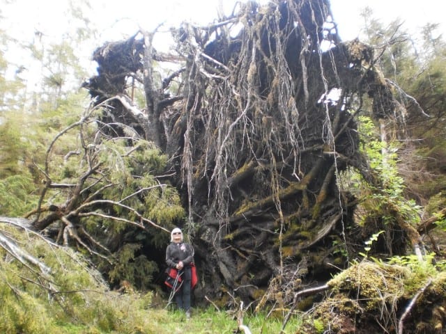
Besides the lake, there are a few old growth cedars to be seen along the trek, plus the unique plants in the delicate bog environment. If hiking in the summer, be sure to enjoy the abundant huckleberries!
It took us about 3 hours, each way, to complete the hike, but we were moving at a very leisurely pace. Others have indicated 2 hours each way is usually sufficient; however, I’d suggest ensuring you leave plenty of daylight for this hike”
3 hours in & back
Moderate to difficult
Elevation gain: 1,115 feet
Length: 1.8km
Note: Map is highly schematic; does not represent lay of the route