
Trails on Haida Gwaii
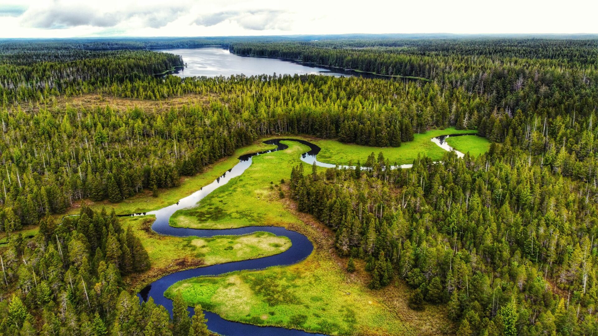
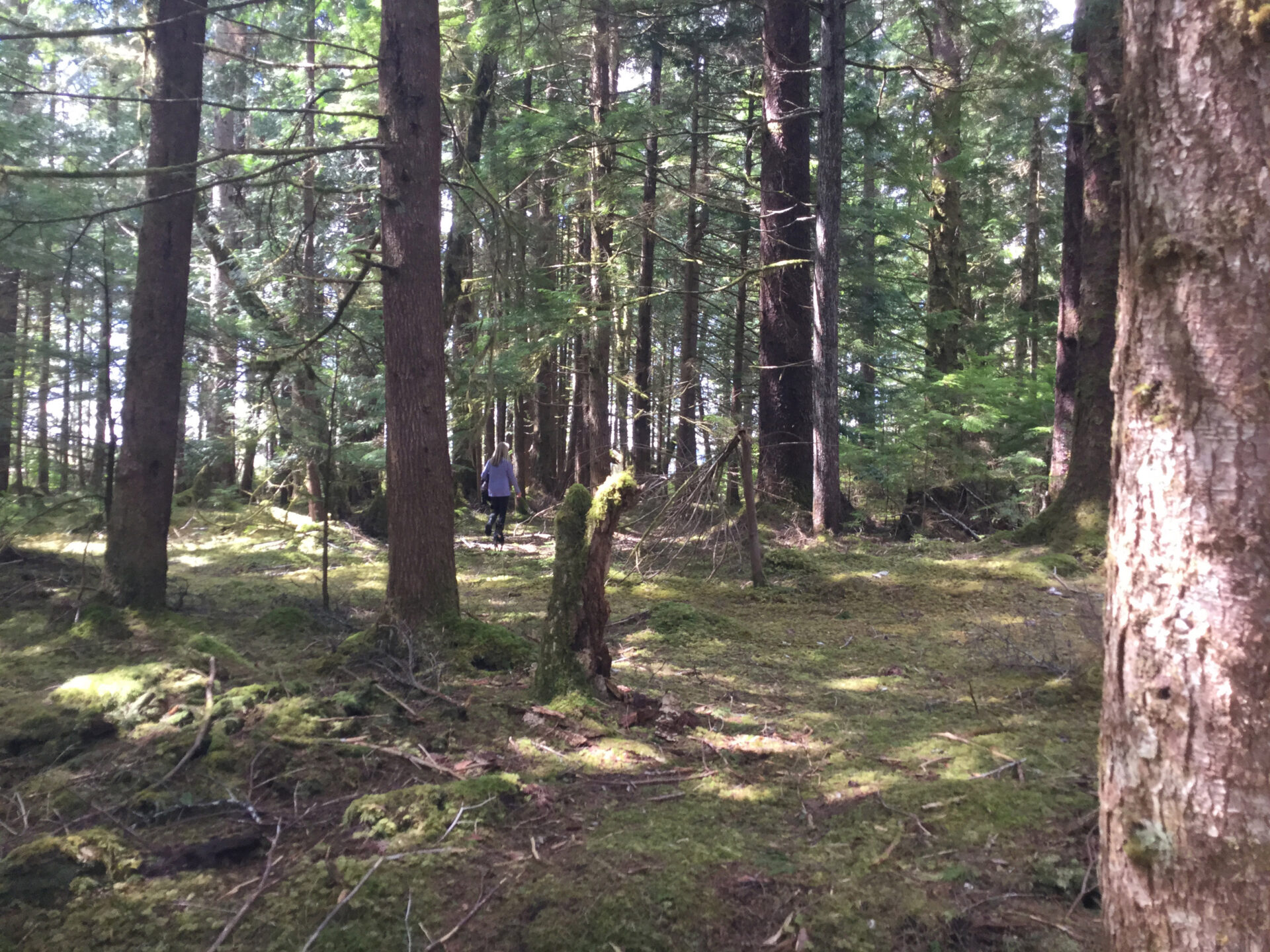
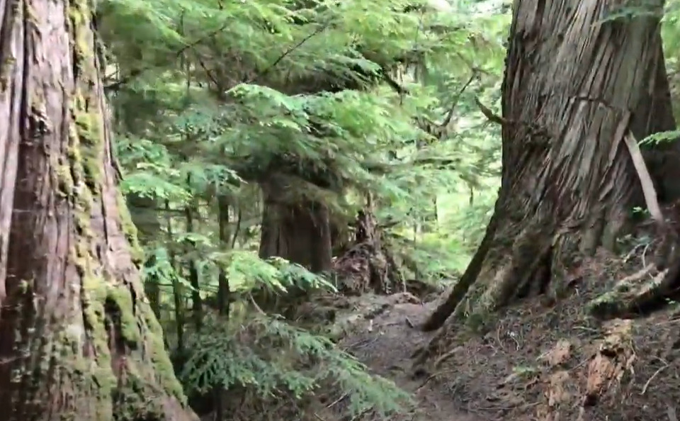
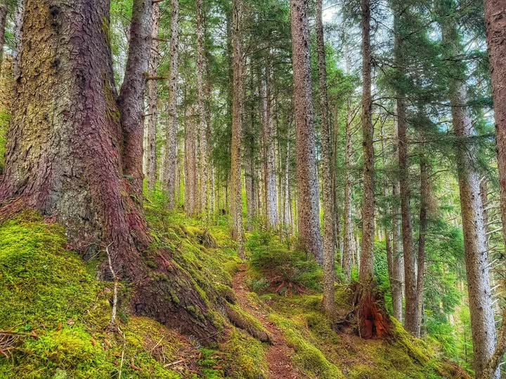
Haida Gwaii has some of the most spectacular wilderness on the coast. From a 10-minute waterfall walk to a multi-day alpine scramble — these trails are all within reach of Daajing Giids.
Easy Trails
Short walks, flat loops, and family-friendly routes — accessible to most visitors regardless of fitness level.
 Easy
Easy
Crabapple Creek Trail
An easy, family-friendly 1 km trail along the Crabapple Brook loop at the west end of Daajing Giids.
Trail links up with the informal "Backyard Trails" system — keep to the marked trail. Some muddy and steep sections; sturdy footwear advised.
 Easy
Easy
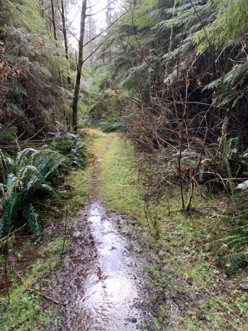
Gold Creek Walk
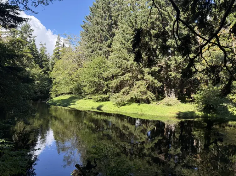
An easy, informal out-and-back route following Gold Creek through muskeg and bog to Mayer Lake.
Informal, unmarked route through boggy terrain — waterproof footwear recommended. Watch for old fence posts straddling the creek about ten minutes in, and deer exclosures protecting crab apple trees (the only native fruit trees on Haida Gwaii) near the lake end. Trail description adapted from Hike Haida Gwaii.
 Easy
Easy
Queen Charlotte-Daajing Giids Walking Tour
Two easy, self-guided walking routes through the history and waterfront of Daajing Giids, formerly Queen Charlotte City.
In 1908, Queen Charlotte City became the first registered town site on Haida Gwaii, promoted by Daniel R. "Windy" Young. On July 13, 2022, the town formally repatriated its Haida name: Daajing Giids.
 Easy
Easy
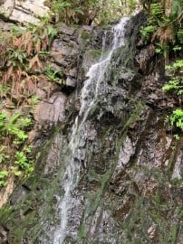
Rock Sitting Creek Trail
A short, family-friendly walk just off Balance Rock Road to a magnificent waterfall.
Family friendly. Can be slippery — the trail to the waterfall is very short (roughly 30 meters one-way) but can be a bit slippery. During hot summers the waterfall is barely a trickle; after periods of rain it can be quite impressive.
 Easy
Easy
Slatechuck Estuary
A short, easy-to-moderate walk near the Slatechuck Creek estuary at the western edge of Daajing Giids, on Skidegate Inlet.
Rated easy to moderate. Check at the Visitor Centre for current conditions.
 Easy
Easy
Small Lake Trail
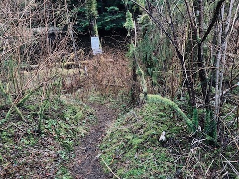
A short, easy walk to a quiet bog lake off the Honna Forest Service Road. Keep an eye out for elk sign — the lake is a favourite of theirs.
Trail is unmarked, single-track, and muddy. Boggy ground around the lake — waterproof footwear recommended.
 Easy
Easy
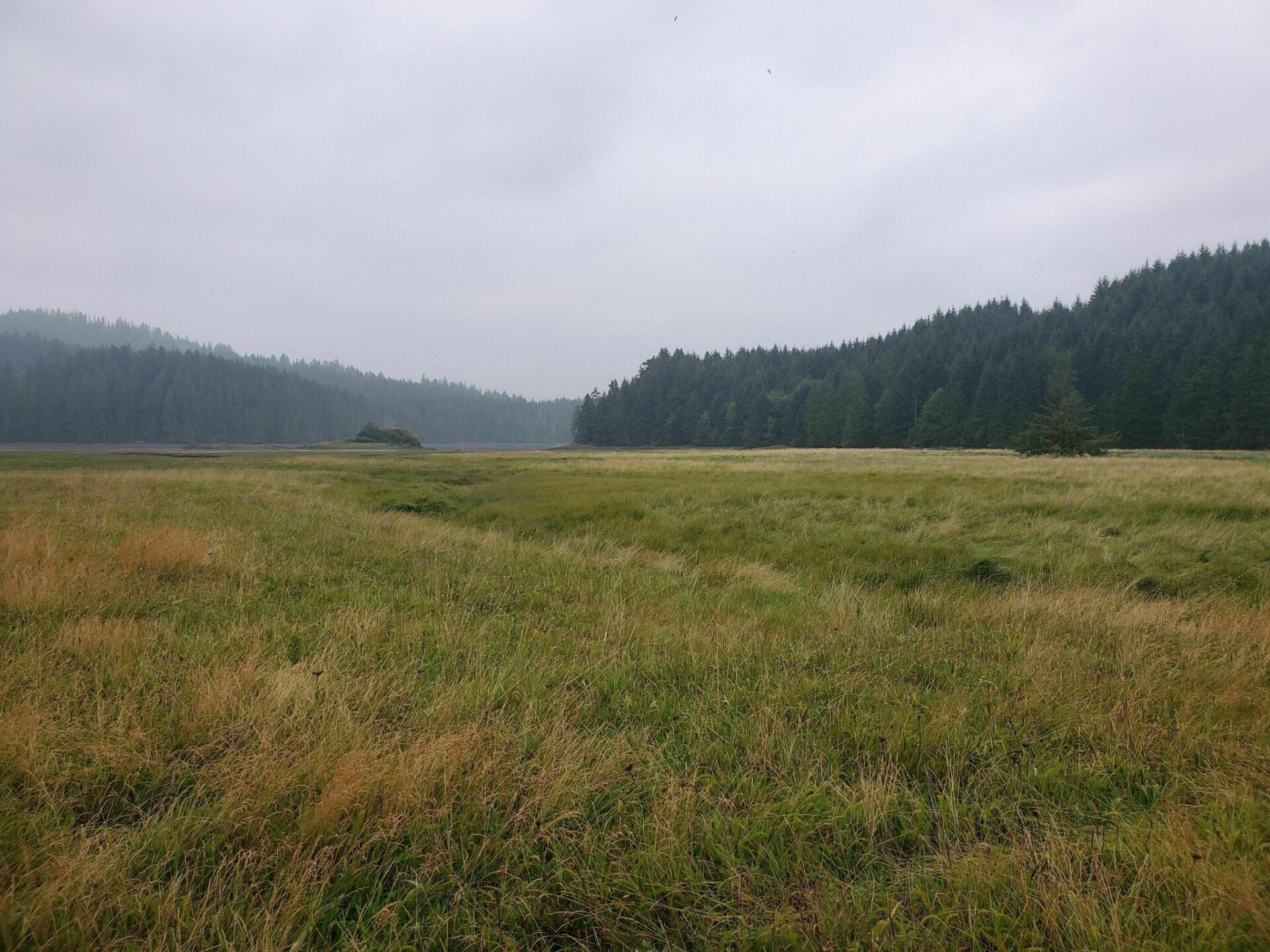
Tarundl Creek Trail
A short, easily accessible trail through the forest to a grassy flood plain known locally as the Flats.
User-maintained trail, sometimes blocked by windfall. Watch your step in the tall grass near the creek mouth — it can hide sudden trenches. At low tide, the Flats can also be reached by walking around the point from the beach.
Moderate Trails
Longer routes with some elevation. Sturdy footwear and rubber boots recommended. Allow a half-day.
 Moderate
Charlie Hartie Creek Trail
A moderately trafficked out-and-back climb up the ridge behind Daajing Giids to Scout Lake, also known as Charlie Valley or the Charlie Hardie South Lake Trail.
DEADFALL HAZARD: TRAIL TEMPORARILY CLOSED — check current status before heading out. Also known as Charlie Valley and Charlie Hardie South Lake Trail. The informal "Backyard Trails" system intersects this trail, so reported lengths vary by route taken. Past the fork (~30 min in) the route toward the creek is unmarked, overgrown, and not recommended by Village of Daajing Giids knowledge-holders.
 Moderate
Durant Homestead Trail
A 30-minute walk along an old corduroy road to an overgrown homestead with a sauna, guesthouse, and overnight cabin.
Gumboots required. Some slippery sections and windfall. Leave everything as you found it and sign the guestbook.
Moderate
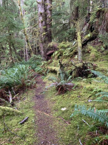
Gore Brook Trail
A 1.6 km rainforest trail through old growth and mossy terrain, accessible from two points in Daajing Giids.
Sturdy footwear advised. Creek crossings, roots, and logs can be slippery. The trail intersects the informal Backyard Trails system at numerous points — stick to the designated trail to avoid getting led astray.
 Moderate
Haans Creek Loop Trail
A 3.5 km loop near Sandspit through old growth forest and salmon spawning grounds.
Rubber boots recommended. Good for all skill levels. Following the main stream to a lava pool with fossils adds about an hour but is worth the extra time.
 Moderate
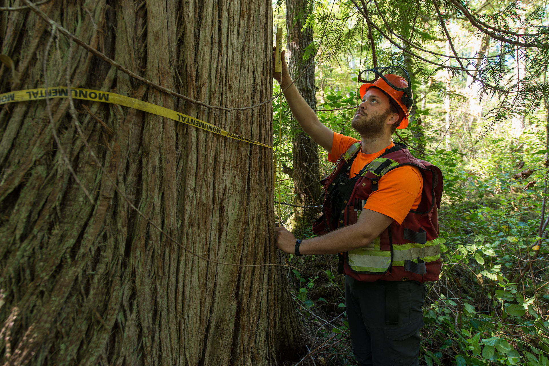
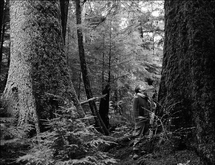
Old Cedars Trail
Steep climb up to a stand of large, old-growth-style cedars on the ridge behind the village.
Informal, unmarked route up a steep incline — wear good footwear and take care on the climb. Note: photos are representative/stock images of similar old-growth cedars, not the exact trees on this trail (credit: Ancient Forest Alliance).
 Moderate
St. Mary’s Spring Trail
Climb the forested escarpment above St. Mary's Spring, home of the carved wooden Madonna. Legend says a drink from the spring means you'll return to Haida Gwaii.
Narrow single-track; some sections run close to the escarpment edge — take care with children and dogs.
 Moderate
White Creek Trail
A moderate trail through old-growth cedar and spruce forest and bog in Naikoon Park, following part of a historic 1910s settlers’ road toward Heralda Lakes.
Rubber boots / waterproof footwear recommended. Be very careful of the delicate landscape — avoid leaving the trail, as it is easy to get lost. Two access points are available: the longer settler-road route toward Heralda Lakes, or an easy 5-minute walk north from the car to the dunes at the mouth of White Creek. Route details adapted from Fern Henderson, Queen Charlotte Islands Trail Hikes and Beach Walks (1996).
 Moderate
Wiggins Road Trail
Unmaintained riverside route along the Tlell, popular with steelhead anglers.
Unmaintained route, prone to flooding after rain. Leave plenty of daylight and be prepared for rough conditions.
Difficult Trails
Steep terrain, significant elevation gain, and longer distances. Tell someone your plan and carry food, water, and rain gear.
 Difficult
Anvil Trail
A moderate-to-difficult 5 km out-and-back loop through ancient forest near Tlell, with rope sections and significant elevation gain.
Unmaintained route, prone to flooding after rain events — leave plenty of daylight and be prepared for rough conditions. Connects with the Wiggins Road Trail. Fun rope sections, with markers that can be tricky to follow. Path can get muddy and slippery; older children will be able to walk through bushes and climb over or under windfall.
 Difficult
Old Growth Alley Trail
A 10 km loop along the lower Tlell River to ancient old growth trees and a swimming hole.
Stay out of this area during high winds. Flooding after heavy rains can make access impossible in some areas. The trail is well marked but has not received maintenance in some time and is extremely rough — no bridges at creek crossings or stairs on steep sections. Keep an eye out for the blue markers.
 Difficult
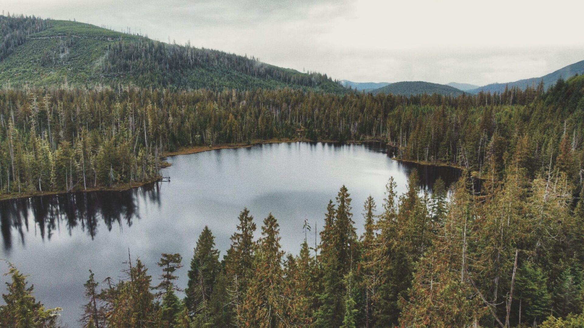
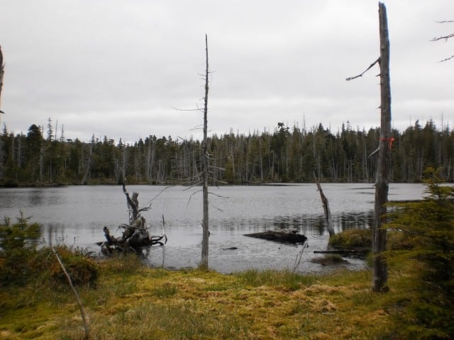
Regier Lake Trail
Regier Lake Trail is the most challenging of the five Backyard Trails behind Daajing Giids — a steep, mostly uphill climb through bog and old growth forest to a beautiful lake ringed with water lilies.
Map is highly schematic and does not represent the lay of the route. Leave plenty of daylight.
 Difficult
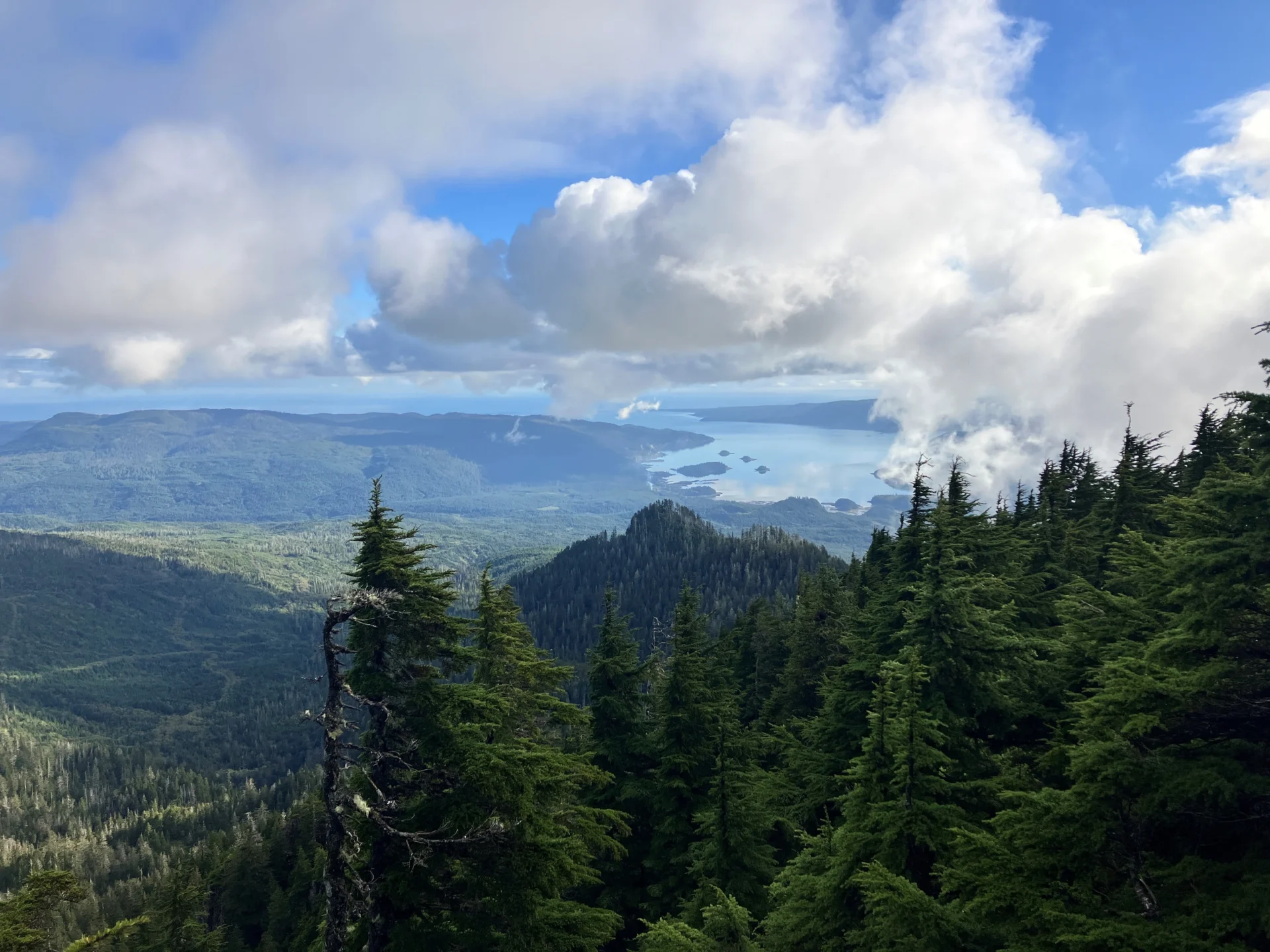
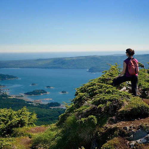
Sleeping Beauty Trail
Sleeping Beauty Trail (Tarundl Mountain) is over 5 kilometres of sometimes rocky scramble, climbing to a saddle of alpine and subalpine forest with sweeping views over Bearskin Bay.
Wet underfoot at the start, with rope sections, a ladder, and some blowdown on the climb. Markers thin out near the summit, so pay attention above the bowl. Cell service is available for most of the hike, but not at the trailhead.
 Difficult
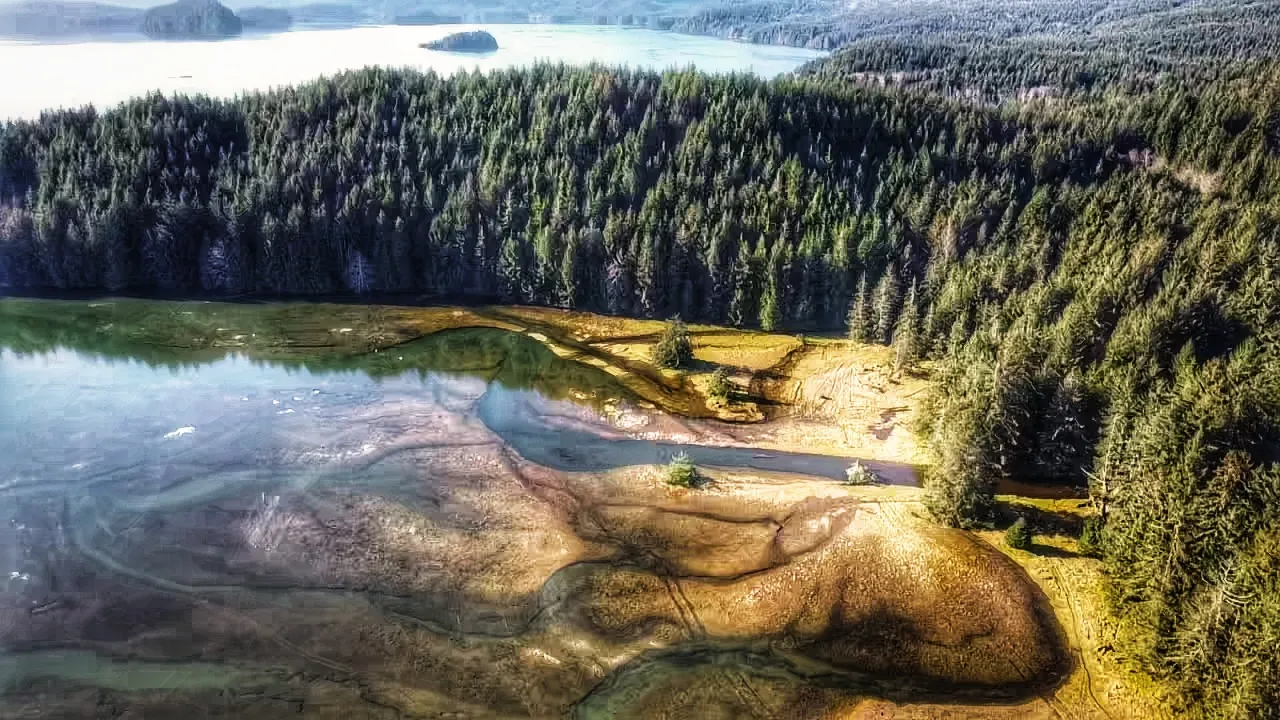
Tarundl Lookout Trail
A short, steep climb to a lookout point with views over Tarundl (the Honna River estuary).
Steep, short climb — sturdy footwear recommended.
Trail Planning Resources
Hike Haida Gwaii has GPS trailhead coordinates, conditions, and local knowledge for every trail on the islands — including hard-to-find unmarked ones. AllTrails has maps with driving directions.